Robin Hood Way
Introduction
The photograph on this page of Robin Hood Way by Alan Murray-Rust as part of the Geograph project.
The Geograph project started in 2005 with the aim of publishing, organising and preserving representative images for every square kilometre of Great Britain, Ireland and the Isle of Man.

There are currently over 7.5m images from over 14,400 individuals and you can help contribute to the project by visiting https://www.geograph.org.uk
Robin Hood Way
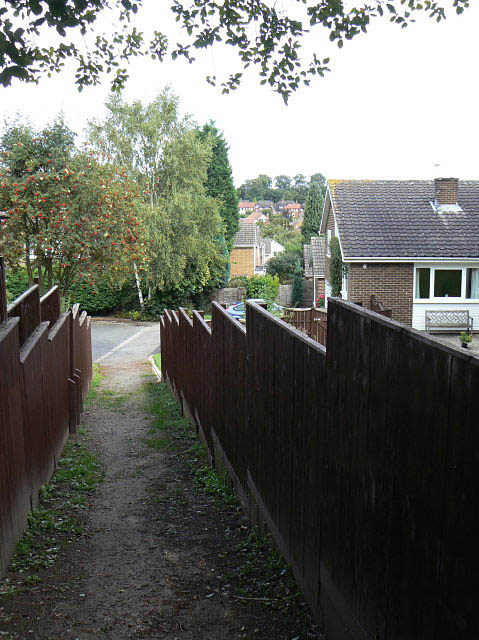
Image: © Alan Murray-Rust Taken: 6 Sep 2009
Link footpath out of Kingsdown Mount onto Bramcote Hills. Although marked on the OS maps, this section of the route is not waymarked or signposted and is difficult to follow even from the 1:25000 map.
Images are licensed for reuse under creativecommons.org/licenses/by-sa/2.0
Image Location
Latitude
52.942093
Longitude
-1.226613