B5391, Higher Wincham, Cheshire
Introduction
The photograph on this page of B5391, Higher Wincham, Cheshire by michael ely as part of the Geograph project.
The Geograph project started in 2005 with the aim of publishing, organising and preserving representative images for every square kilometre of Great Britain, Ireland and the Isle of Man.

There are currently over 7.5m images from over 14,400 individuals and you can help contribute to the project by visiting https://www.geograph.org.uk
B5391, Higher Wincham, Cheshire
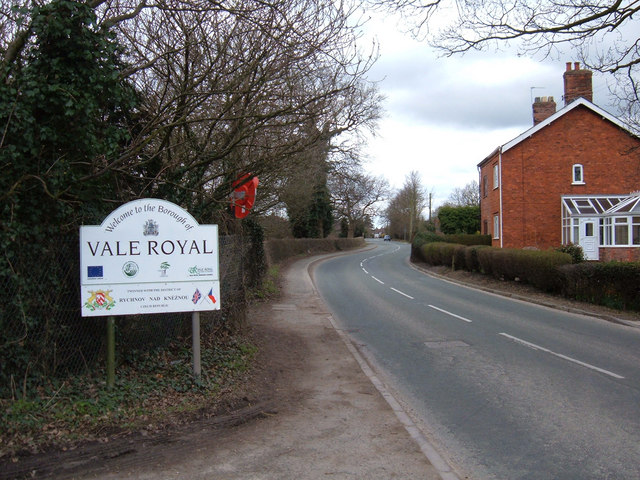
Image: © michael ely Taken: 6 Apr 2006
The stream that runs under the road forms the boundary between Vale Royal and Macclesfield districts.
Images are licensed for reuse under creativecommons.org/licenses/by-sa/2.0
Image Location
Latitude
53.28726
Longitude
-2.464966