View south-east from St Sampson's tower, Cricklade
Introduction
The photograph on this page of View south-east from St Sampson's tower, Cricklade by Brian Robert Marshall as part of the Geograph project.
The Geograph project started in 2005 with the aim of publishing, organising and preserving representative images for every square kilometre of Great Britain, Ireland and the Isle of Man.

There are currently over 7.5m images from over 14,400 individuals and you can help contribute to the project by visiting https://www.geograph.org.uk
View south-east from St Sampson's tower, Cricklade
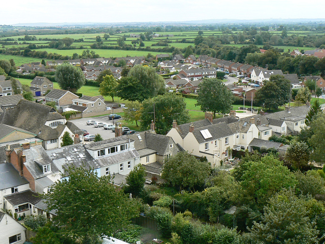
Image: © Brian Robert Marshall Taken: 6 Sep 2009
At the far left-centre is Cricklade Town Hall, on the east side of the B4040. At the extreme left horizon it is possible to distinguish the trees on Liddington Hill over 17 kilometres away seen closer to here http://www.geograph.org.uk/photo/434234
Images are licensed for reuse under creativecommons.org/licenses/by-sa/2.0
Image Location


Leaflet Map data © OpenStreetMap
Latitude
51.639677
Longitude
-1.857471