Farmland below Standish Woods
Introduction
The photograph on this page of Farmland below Standish Woods by Vincent Jones as part of the Geograph project.
The Geograph project started in 2005 with the aim of publishing, organising and preserving representative images for every square kilometre of Great Britain, Ireland and the Isle of Man.

There are currently over 7.5m images from over 14,400 individuals and you can help contribute to the project by visiting https://www.geograph.org.uk
Farmland below Standish Woods
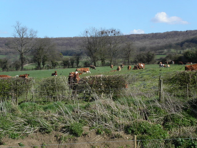
Image: © Vincent Jones Taken: 5 Apr 2006
The farmland past Standish village starts to rise towards Standish woods. The Cotswold Way path runs through the woods.
Images are licensed for reuse under creativecommons.org/licenses/by-sa/2.0
Image Location


Leaflet Map data © OpenStreetMap
Latitude
51.769011
Longitude
-2.271671