Loch Farm and Gadloch
Introduction
The photograph on this page of Loch Farm and Gadloch by Stephen Sweeney as part of the Geograph project.
The Geograph project started in 2005 with the aim of publishing, organising and preserving representative images for every square kilometre of Great Britain, Ireland and the Isle of Man.

There are currently over 7.5m images from over 14,400 individuals and you can help contribute to the project by visiting https://www.geograph.org.uk
Loch Farm and Gadloch
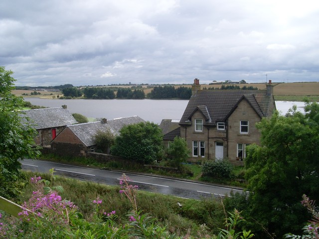
Image: © Stephen Sweeney Taken: 4 Sep 2009
A fine view to be had from this section of Crosshill Road, just before it meets with Robroyston Road.
Images are licensed for reuse under creativecommons.org/licenses/by-sa/2.0
Image Location
Latitude
55.915722
Longitude
-4.170543