Walton-on-the-Naze: Percival Road
Introduction
The photograph on this page of Walton-on-the-Naze: Percival Road by Nigel Cox as part of the Geograph project.
The Geograph project started in 2005 with the aim of publishing, organising and preserving representative images for every square kilometre of Great Britain, Ireland and the Isle of Man.

There are currently over 7.5m images from over 14,400 individuals and you can help contribute to the project by visiting https://www.geograph.org.uk
Walton-on-the-Naze: Percival Road
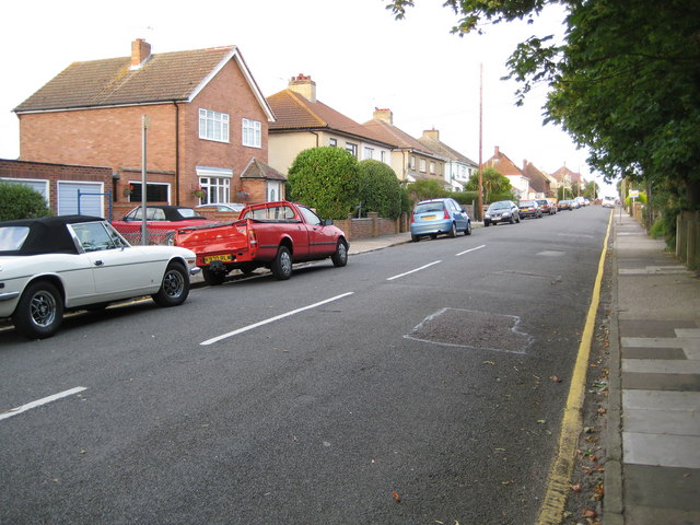
Image: © Nigel Cox Taken: 30 Aug 2009
Infill housing construction between Hall Lane and the East Cliffs was a between-the-wars development. Percival Road is shown on the 1925 Ordnance Survey map but without any houses. However by the time that the 1938 edition was produced most were present.
Images are licensed for reuse under creativecommons.org/licenses/by-sa/2.0
Image Location
Latitude
51.856579
Longitude
1.279754