Community Hall (?), Smithton
Introduction
The photograph on this page of Community Hall (?), Smithton by Richard Dorrell as part of the Geograph project.
The Geograph project started in 2005 with the aim of publishing, organising and preserving representative images for every square kilometre of Great Britain, Ireland and the Isle of Man.

There are currently over 7.5m images from over 14,400 individuals and you can help contribute to the project by visiting https://www.geograph.org.uk
Community Hall (?), Smithton
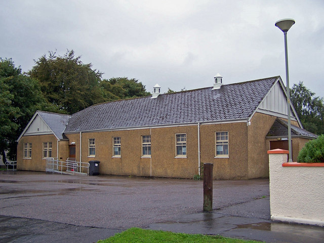
Image: © Richard Dorrell Taken: 3 Sep 2009
This building stands at the northern end of Smithton Road. There is no sign to give a clue as to its function, but I suspect it is a community hall.
Images are licensed for reuse under creativecommons.org/licenses/by-sa/2.0
Image Location
Latitude
57.484466
Longitude
-4.148365