Walton-on-the-Naze: Seafront shelter
Introduction
The photograph on this page of Walton-on-the-Naze: Seafront shelter by Nigel Cox as part of the Geograph project.
The Geograph project started in 2005 with the aim of publishing, organising and preserving representative images for every square kilometre of Great Britain, Ireland and the Isle of Man.

There are currently over 7.5m images from over 14,400 individuals and you can help contribute to the project by visiting https://www.geograph.org.uk
Walton-on-the-Naze: Seafront shelter
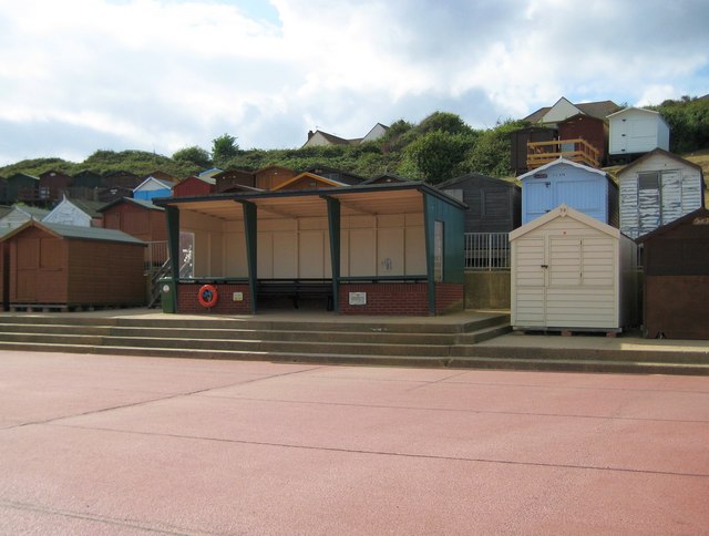
Image: © Nigel Cox Taken: 30 Aug 2009
This functional concrete shelter nestles in the massed ranks of beach huts at the foot of Walton's shallow cliffs. One very useful feature of Walton's sea front is that each facility, such as a lifebelt or a public convenience, has a notice giving the distance in each direction along the front to the next facility of its kind.
Images are licensed for reuse under creativecommons.org/licenses/by-sa/2.0
Image Location
Latitude
51.844225
Longitude
1.267965