Webster's Pond
Introduction
The photograph on this page of Webster's Pond by Robert Murray as part of the Geograph project.
The Geograph project started in 2005 with the aim of publishing, organising and preserving representative images for every square kilometre of Great Britain, Ireland and the Isle of Man.

There are currently over 7.5m images from over 14,400 individuals and you can help contribute to the project by visiting https://www.geograph.org.uk
Webster's Pond
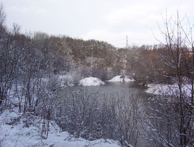
Image: © Robert Murray Taken: 6 Jan 2003
Named after the family who inhabited the then nearby Calderpark House up till about 1931. The pond is not natural, it appeared over a period of time after the closure of Calderbank Colliery and is the result of subsidence due to coal mining. The surrounds were considerably enhanced in the 1970s by Youth Opportunities work programmes [the famous 'Yoppers'] supervised by the nearby zoo staff in a bid to include it as part of that.
Images are licensed for reuse under creativecommons.org/licenses/by-sa/2.0
Image Location
Latitude
55.840061
Longitude
-4.107867