Seasonal Burn
Introduction
The photograph on this page of Seasonal Burn by Robert Murray as part of the Geograph project.
The Geograph project started in 2005 with the aim of publishing, organising and preserving representative images for every square kilometre of Great Britain, Ireland and the Isle of Man.

There are currently over 7.5m images from over 14,400 individuals and you can help contribute to the project by visiting https://www.geograph.org.uk
Seasonal Burn
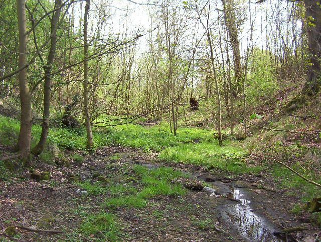
Image: © Robert Murray Taken: 6 May 2005
This wee burn originates from more than one source in the areas of Baillieston and Garrowhill and falls into the North Calder Water at Channel Banks near Calderpark. Once a free flowing natural burn as can be witnessed by the gully it has cut out over the eons. Since the 1950s most of the water that came into it was diverted into the urban drainage system and it is now only a real burn in times of consistent rain , however this may change as a suds pond has been constructed nearby to facilitate run-off from new housing developments.
Images are licensed for reuse under creativecommons.org/licenses/by-sa/2.0
Image Location
Latitude
55.841174
Longitude
-4.111122