Longboat Quay, Netherton
Introduction
The photograph on this page of Longboat Quay, Netherton by Brian Clift as part of the Geograph project.
The Geograph project started in 2005 with the aim of publishing, organising and preserving representative images for every square kilometre of Great Britain, Ireland and the Isle of Man.

There are currently over 7.5m images from over 14,400 individuals and you can help contribute to the project by visiting https://www.geograph.org.uk
Longboat Quay, Netherton
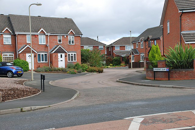
Image: © Brian Clift Taken: 3 Sep 2009
View from Northfield Road. I have no idea why this street name was allocated but as it is in close proximity to the canals I would imagine that Dudley MBC meant it to have a reference to the Narrowboat and not the Longboat. Wikipedia says, "It is also incorrect (or at least incongruous) to refer to a narrowboat as a longboat, although this name was sometimes used in the Midlands in working-boat days".
Images are licensed for reuse under creativecommons.org/licenses/by-sa/2.0
Image Location
Latitude
52.488451
Longitude
-2.075947