Railway north of Bridge Street, Banbury
Introduction
The photograph on this page of Railway north of Bridge Street, Banbury by Andy F as part of the Geograph project.
The Geograph project started in 2005 with the aim of publishing, organising and preserving representative images for every square kilometre of Great Britain, Ireland and the Isle of Man.

There are currently over 7.5m images from over 14,400 individuals and you can help contribute to the project by visiting https://www.geograph.org.uk
Railway north of Bridge Street, Banbury
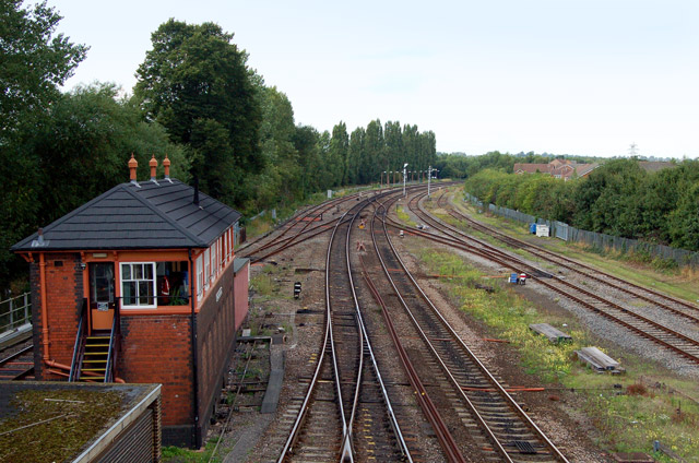
Image: © Andy F Taken: 9 Aug 2009
Looking in the down (north) direction from Bridge Street road bridge with Banbury North signal box in the foreground.
Images are licensed for reuse under creativecommons.org/licenses/by-sa/2.0
Image Location


Leaflet Map data © OpenStreetMap
Latitude
52.062678
Longitude
-1.329264