The lower end of Tullybrannigan Road
Introduction
The photograph on this page of The lower end of Tullybrannigan Road by Eric Jones as part of the Geograph project.
The Geograph project started in 2005 with the aim of publishing, organising and preserving representative images for every square kilometre of Great Britain, Ireland and the Isle of Man.

There are currently over 7.5m images from over 14,400 individuals and you can help contribute to the project by visiting https://www.geograph.org.uk
The lower end of Tullybrannigan Road
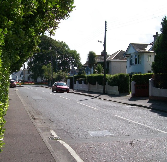
Image: © Eric Jones Taken: 21 Aug 2009
The traffic island at the junction with Bryansford Road can be seen in the distance, together with the Orange Hall.
Images are licensed for reuse under creativecommons.org/licenses/by-sa/2.0
Image Location
Latitude
54.208546
Longitude
-5.894844