Fire practice aircraft, RAF Barkston Heath
Introduction
The photograph on this page of Fire practice aircraft, RAF Barkston Heath by John Goldsmith as part of the Geograph project.
The Geograph project started in 2005 with the aim of publishing, organising and preserving representative images for every square kilometre of Great Britain, Ireland and the Isle of Man.

There are currently over 7.5m images from over 14,400 individuals and you can help contribute to the project by visiting https://www.geograph.org.uk
Fire practice aircraft, RAF Barkston Heath
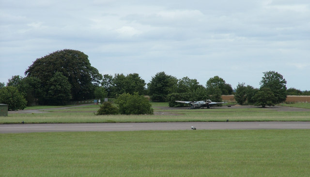
Image: © John Goldsmith Taken: 30 Aug 2009
I think this is the remains of a Canberra. The flat fields that made this an ideal site for an airfield are evident.
Images are licensed for reuse under creativecommons.org/licenses/by-sa/2.0
Image Location
Latitude
52.968258
Longitude
-0.553256