Colsterworth North Quarry: the lorry road
Introduction
The photograph on this page of Colsterworth North Quarry: the lorry road by John Sutton as part of the Geograph project.
The Geograph project started in 2005 with the aim of publishing, organising and preserving representative images for every square kilometre of Great Britain, Ireland and the Isle of Man.

There are currently over 7.5m images from over 14,400 individuals and you can help contribute to the project by visiting https://www.geograph.org.uk
Colsterworth North Quarry: the lorry road
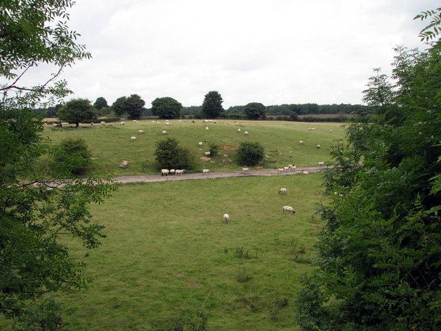
Image: © John Sutton Taken: 27 Aug 2009
This photograph is taken from the trackbed of the High Dyke Branch. The tracks of the quarry railway once ran immediately below here, Colsterworth North Engine shed was just to the right and Colsterworth North Sidings a quarter of a mile further to the right. In the middle of the picture is the concrete "lorry road", built by United Steels in the mid 1960s, which was seen as a cheaper way of bringing ore to the railhead from outlying quarries than laying further railway lines. Known as "the M1", the lorry road ran NW and was intended to open up huge ore reserves in the Stoke Rochford and Ponton Heath areas. In the event it was never used as demand for ore dropped. Railways continued to be used at Colsterworth Quarries until closure. Kate Jewell's photos for Image and Image show the lorry road out in the country.
Images are licensed for reuse under creativecommons.org/licenses/by-sa/2.0
Image Location
Latitude
52.811347
Longitude
-0.633843