New Pond near Huntswood
Introduction
The photograph on this page of New Pond near Huntswood by Simon Carey as part of the Geograph project.
The Geograph project started in 2005 with the aim of publishing, organising and preserving representative images for every square kilometre of Great Britain, Ireland and the Isle of Man.

There are currently over 7.5m images from over 14,400 individuals and you can help contribute to the project by visiting https://www.geograph.org.uk
New Pond near Huntswood
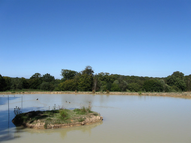
Image: © Simon Carey Taken: 31 Aug 2009
So new it isn't on any of the aerial maps yet. The 1:50000 map marks this area as woodland but not the 1:25000 which has this down as fields though an older map of that scale dating from 1975 has this area marked as Hunt's Wood a name that lives on with the house to the south which I believe now owns these lands.
Images are licensed for reuse under creativecommons.org/licenses/by-sa/2.0
Image Location


Leaflet Map data © OpenStreetMap
Latitude
50.948386
Longitude
-0.077156