B3276 near Windmill, Trevone
Introduction
The photograph on this page of B3276 near Windmill, Trevone by Andy F as part of the Geograph project.
The Geograph project started in 2005 with the aim of publishing, organising and preserving representative images for every square kilometre of Great Britain, Ireland and the Isle of Man.

There are currently over 7.5m images from over 14,400 individuals and you can help contribute to the project by visiting https://www.geograph.org.uk
B3276 near Windmill, Trevone
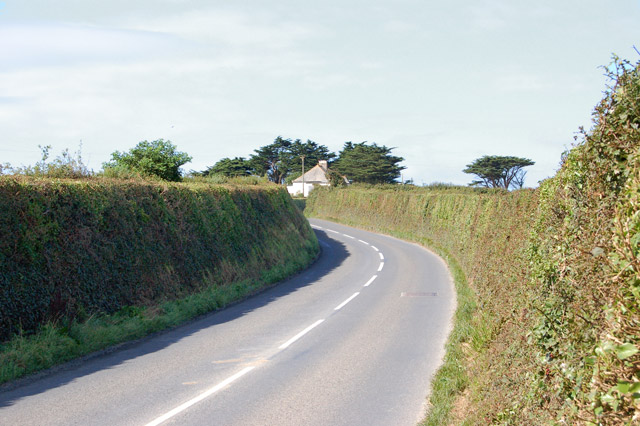
Image: © Andy F Taken: 23 Aug 2009
Looking west along the B3276 road on the approach to the hamlet of Windmill, one mile south of Trevone.
Images are licensed for reuse under creativecommons.org/licenses/by-sa/2.0
Image Location
Latitude
50.53698
Longitude
-4.968407