Colsterworth: view across the Witham
Introduction
The photograph on this page of Colsterworth: view across the Witham by John Sutton as part of the Geograph project.
The Geograph project started in 2005 with the aim of publishing, organising and preserving representative images for every square kilometre of Great Britain, Ireland and the Isle of Man.

There are currently over 7.5m images from over 14,400 individuals and you can help contribute to the project by visiting https://www.geograph.org.uk
Colsterworth: view across the Witham
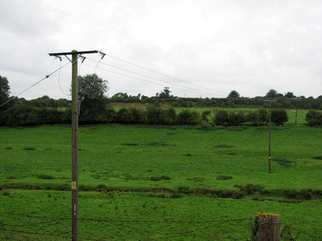
Image: © John Sutton Taken: 27 Aug 2009
The infant Witham is in the foreground. Old Post Lane runs north to south along the horizon, above the level of the fields beyond the hedge in the middle of the picture, which were from 1920-33 the rail-served Colsterworth No 1 Quarry. The reddish quarry face - shown on the OS Map - can be seen to the right of the telegraph pole; further to the right it is overgrown by bushes. See other photos nearby for more on the ironstone quarries and railways around Colsterworth and Woolsthorpe.
Images are licensed for reuse under creativecommons.org/licenses/by-sa/2.0
Image Location
Latitude
52.804704
Longitude
-0.62693