Farriers Arms pub
Introduction
The photograph on this page of Farriers Arms pub by Chris Lordan as part of the Geograph project.
The Geograph project started in 2005 with the aim of publishing, organising and preserving representative images for every square kilometre of Great Britain, Ireland and the Isle of Man.

There are currently over 7.5m images from over 14,400 individuals and you can help contribute to the project by visiting https://www.geograph.org.uk
Farriers Arms pub
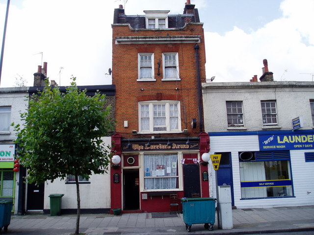
Image: © Chris Lordan Taken: 29 Aug 2007
At 212 / 214 Lower Road, Rotherhithe SE16. Opened about 1870 when listed as a beer house.
Images are licensed for reuse under creativecommons.org/licenses/by-sa/2.0
Image Location
Latitude
51.489221
Longitude
-0.049734