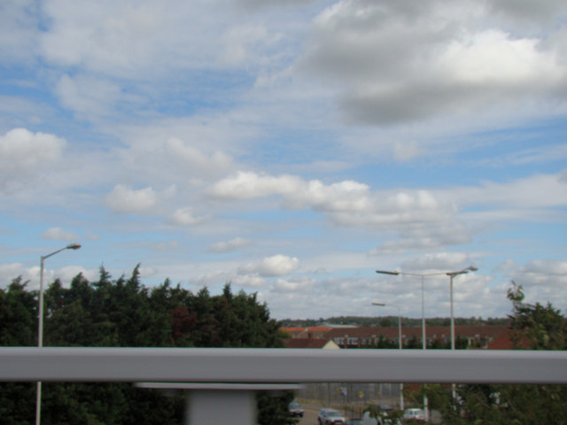
View of Straight Road from Gallows Corner Flyover
Introduction
The photograph on this page of View of Straight Road from Gallows Corner Flyover by Robert Lamb as part of the Geograph project.
The Geograph project started in 2005 with the aim of publishing, organising and preserving representative images for every square kilometre of Great Britain, Ireland and the Isle of Man.
There are currently over 7.5m images from over 14,400 individuals and you can help contribute to the project by visiting https://www.geograph.org.uk

Image: © Robert Lamb Taken: 30 Aug 2009
This is a response to John Winfield's Image, taken from high above where he took the photo on the nearby Gallows Corner flyover which features in his image. I have sharpened the image slightly as it was a little blurred, which I could tell especially by the lamp posts in shot. What strikes me as rather strange here on Geograph is that this first half of the flyover is classed as Gidea Park while the other half is classed as Harold Wood, meaning the flyover is right on the border of two places! View taken looking north-northeast.

