Crackington Haven: looking inland
Introduction
The photograph on this page of Crackington Haven: looking inland by Chris Downer as part of the Geograph project.
The Geograph project started in 2005 with the aim of publishing, organising and preserving representative images for every square kilometre of Great Britain, Ireland and the Isle of Man.

There are currently over 7.5m images from over 14,400 individuals and you can help contribute to the project by visiting https://www.geograph.org.uk
Crackington Haven: looking inland
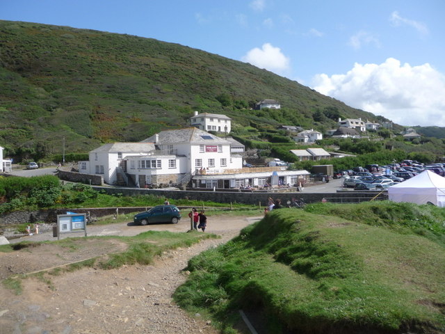
Image: © Chris Downer Taken: 25 Aug 2009
Looking up into the valley of the unnamed river (at 1:25,000 scale, at least) which flows into the sea here. The Image is the prominent building.
Images are licensed for reuse under creativecommons.org/licenses/by-sa/2.0
Image Location


Leaflet Map data © OpenStreetMap
Latitude
50.74087
Longitude
-4.63286