Kingsbridge: The Quay and The Ship pubs
Introduction
The photograph on this page of Kingsbridge: The Quay and The Ship pubs by Chris Downer as part of the Geograph project.
The Geograph project started in 2005 with the aim of publishing, organising and preserving representative images for every square kilometre of Great Britain, Ireland and the Isle of Man.

There are currently over 7.5m images from over 14,400 individuals and you can help contribute to the project by visiting https://www.geograph.org.uk
Kingsbridge: The Quay and The Ship pubs
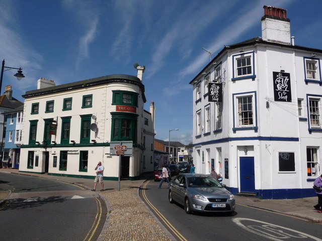
Image: © Chris Downer Taken: 24 Aug 2009
Two pubs flanking Bridge Street as it arrives in the centre of town. Fore Street, the town's main street, is to the left.
Images are licensed for reuse under creativecommons.org/licenses/by-sa/2.0
Image Location
Latitude
50.283903
Longitude
-3.776653