Walmgate Bar
Introduction
The photograph on this page of Walmgate Bar by DS Pugh as part of the Geograph project.
The Geograph project started in 2005 with the aim of publishing, organising and preserving representative images for every square kilometre of Great Britain, Ireland and the Isle of Man.

There are currently over 7.5m images from over 14,400 individuals and you can help contribute to the project by visiting https://www.geograph.org.uk
Walmgate Bar
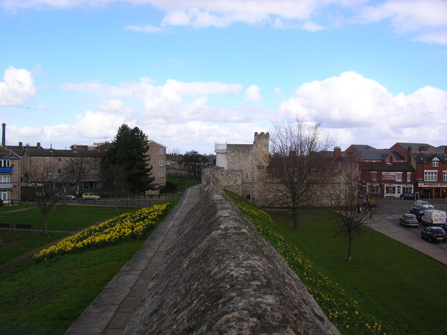
Image: © DS Pugh Taken: 4 Apr 2006
Taken to show the daffodils on both sides of the walls here. The road junction on the right goes to Foss Islands straight ahead, into the city to the left (through the bar), and onto Lawrence street on the right.
Images are licensed for reuse under creativecommons.org/licenses/by-sa/2.0
Image Location
Latitude
53.954207
Longitude
-1.071929