Llwybr i Ysgubor Hen - Path to Ysgubor Hen
Introduction
The photograph on this page of Llwybr i Ysgubor Hen - Path to Ysgubor Hen by Alan Fryer as part of the Geograph project.
The Geograph project started in 2005 with the aim of publishing, organising and preserving representative images for every square kilometre of Great Britain, Ireland and the Isle of Man.

There are currently over 7.5m images from over 14,400 individuals and you can help contribute to the project by visiting https://www.geograph.org.uk
Llwybr i Ysgubor Hen - Path to Ysgubor Hen
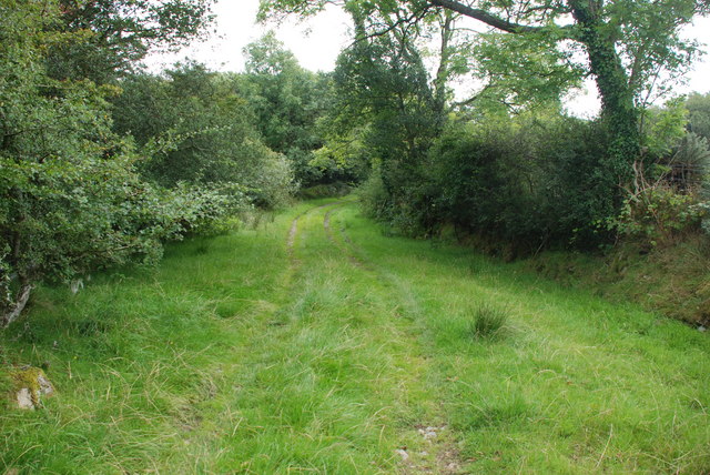
Image: © Alan Fryer Taken: 29 Aug 2009
One of the many tracks from Lôn Goed to farms on either side. For the history of Lôn Goed see Image]
Images are licensed for reuse under creativecommons.org/licenses/by-sa/2.0
Image Location
Latitude
52.92156
Longitude
-4.303132