Ditchling Common Country Park
Introduction
The photograph on this page of Ditchling Common Country Park by Simon Carey as part of the Geograph project.
The Geograph project started in 2005 with the aim of publishing, organising and preserving representative images for every square kilometre of Great Britain, Ireland and the Isle of Man.

There are currently over 7.5m images from over 14,400 individuals and you can help contribute to the project by visiting https://www.geograph.org.uk
Ditchling Common Country Park
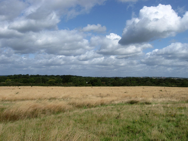
Image: © Simon Carey Taken: 28 Aug 2009
Looking down from the footpath next to the junction of the drive to Ditchling Common Stud and the B2112 where much of the land on the common is open grassland. The trees mark the western boundary of the common whilst the town of Haywards Heath is just visible in the distance on the right.
Images are licensed for reuse under creativecommons.org/licenses/by-sa/2.0
Image Location
Latitude
50.954656
Longitude
-0.103096