Janes Lane, World's End
Introduction
The photograph on this page of Janes Lane, World's End by Simon Carey as part of the Geograph project.
The Geograph project started in 2005 with the aim of publishing, organising and preserving representative images for every square kilometre of Great Britain, Ireland and the Isle of Man.

There are currently over 7.5m images from over 14,400 individuals and you can help contribute to the project by visiting https://www.geograph.org.uk
Janes Lane, World's End
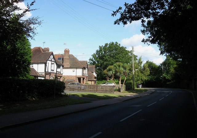
Image: © Simon Carey Taken: 28 Aug 2009
At the very eastern edge of this suburb of Burgess Hill. The lane links the suburb with Ditchling Common and is an old enough route to form a former parish boundary between Ditchling and Cuckfield.
Images are licensed for reuse under creativecommons.org/licenses/by-sa/2.0
Image Location
Latitude
50.964298
Longitude
-0.109824