Manor Road, World's End
Introduction
The photograph on this page of Manor Road, World's End by Simon Carey as part of the Geograph project.
The Geograph project started in 2005 with the aim of publishing, organising and preserving representative images for every square kilometre of Great Britain, Ireland and the Isle of Man.

There are currently over 7.5m images from over 14,400 individuals and you can help contribute to the project by visiting https://www.geograph.org.uk
Manor Road, World's End
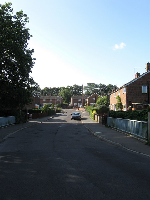
Image: © Simon Carey Taken: 28 Aug 2009
A suburb of Burgess Hill with this part being very much a post war creation. The railings in the foreground mark out a bridge as the road crosses a small stream, a tributary of the eastern branch of the River Adur.
Images are licensed for reuse under creativecommons.org/licenses/by-sa/2.0
Image Location
Latitude
50.960191
Longitude
-0.111699