Old Field Boundary
Introduction
The photograph on this page of Old Field Boundary by Simon Carey as part of the Geograph project.
The Geograph project started in 2005 with the aim of publishing, organising and preserving representative images for every square kilometre of Great Britain, Ireland and the Isle of Man.

There are currently over 7.5m images from over 14,400 individuals and you can help contribute to the project by visiting https://www.geograph.org.uk
Old Field Boundary
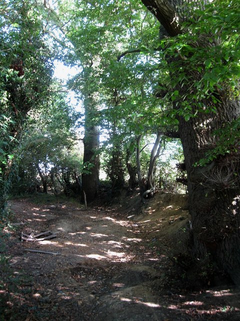
Image: © Simon Carey Taken: 28 Aug 2009
The small embankment which lies next to an old right of way is still extant. The field still lies beyond it but a couple of steps to the left and you emerge from the foliage into suburban Burgess Hill.
Images are licensed for reuse under creativecommons.org/licenses/by-sa/2.0
Image Location
Latitude
50.960811
Longitude
-0.111105