Old Boundary, Ditchling Common Country Park
Introduction
The photograph on this page of Old Boundary, Ditchling Common Country Park by Simon Carey as part of the Geograph project.
The Geograph project started in 2005 with the aim of publishing, organising and preserving representative images for every square kilometre of Great Britain, Ireland and the Isle of Man.

There are currently over 7.5m images from over 14,400 individuals and you can help contribute to the project by visiting https://www.geograph.org.uk
Old Boundary, Ditchling Common Country Park
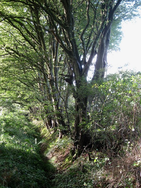
Image: © Simon Carey Taken: 28 Aug 2009
The western boundary north of Freckborough Manor has a deep ditch and high bank to prevent any animals getting off the common onto private fields beyond. The land beyond was also once part of Frankbarrow, a medieval deer park that disparked in the 16th century.
Images are licensed for reuse under creativecommons.org/licenses/by-sa/2.0
Image Location
Latitude
50.952264
Longitude
-0.105329