Friars Street, Warwick
Introduction
The photograph on this page of Friars Street, Warwick by Robin Stott as part of the Geograph project.
The Geograph project started in 2005 with the aim of publishing, organising and preserving representative images for every square kilometre of Great Britain, Ireland and the Isle of Man.

There are currently over 7.5m images from over 14,400 individuals and you can help contribute to the project by visiting https://www.geograph.org.uk
Friars Street, Warwick
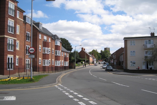
Image: © Robin Stott Taken: 27 Aug 2009
A view towards the town from the junction with Bread and Meat Close. The housing development on council-owned land, left, helped pay for a reorganisation of racecourse facilities and improvements to the Common, all behind and to the left of the camera. Beyond the flats is the churchyard of St Paul's Church. The tower is that of the church at Westgate. On the right is Crompton Street.
Images are licensed for reuse under creativecommons.org/licenses/by-sa/2.0
Image Location
Latitude
52.278849
Longitude
-1.593946