Chequer Lane fishing lake
Introduction
The photograph on this page of Chequer Lane fishing lake by john driscoll as part of the Geograph project.
The Geograph project started in 2005 with the aim of publishing, organising and preserving representative images for every square kilometre of Great Britain, Ireland and the Isle of Man.

There are currently over 7.5m images from over 14,400 individuals and you can help contribute to the project by visiting https://www.geograph.org.uk
Chequer Lane fishing lake
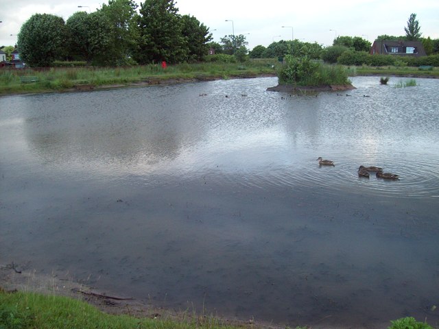
Image: © john driscoll Taken: 22 Jun 2008
Chequer Lane Fishing Lake was opened in 2005. It is situated between Chequers Lane and Stannanought Road in Up Holland. There is also a picnic area and seating for families to enjoy the surrounding.
Images are licensed for reuse under creativecommons.org/licenses/by-sa/2.0
Image Location
Latitude
53.539223
Longitude
-2.746423