Marsh Lane
Introduction
The photograph on this page of Marsh Lane by Jonathan Billinger as part of the Geograph project.
The Geograph project started in 2005 with the aim of publishing, organising and preserving representative images for every square kilometre of Great Britain, Ireland and the Isle of Man.

There are currently over 7.5m images from over 14,400 individuals and you can help contribute to the project by visiting https://www.geograph.org.uk
Marsh Lane
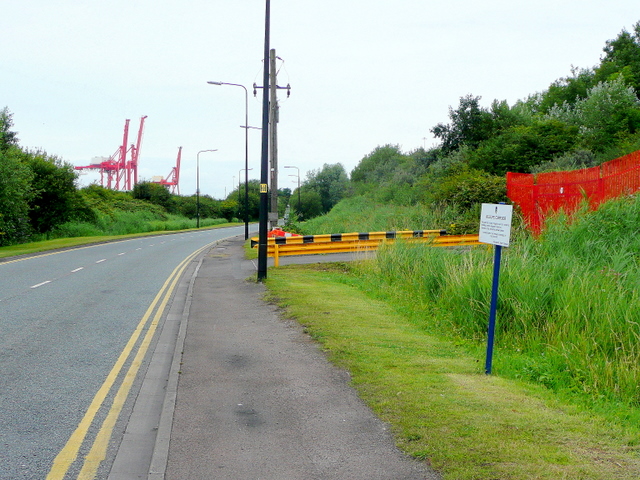
Image: © Jonathan Billinger Taken: 16 Jul 2009
A public-access road to businesses on the edge of Royal Portbury Dock. the sign to the right informs people that this side of the road is designated a wildlife corridor.
Images are licensed for reuse under creativecommons.org/licenses/by-sa/2.0
Image Location
Latitude
51.486457
Longitude
-2.711841