Mersea Road
Introduction
The photograph on this page of Mersea Road by Glyn Baker as part of the Geograph project.
The Geograph project started in 2005 with the aim of publishing, organising and preserving representative images for every square kilometre of Great Britain, Ireland and the Isle of Man.

There are currently over 7.5m images from over 14,400 individuals and you can help contribute to the project by visiting https://www.geograph.org.uk
Mersea Road
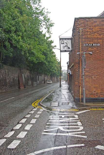
Image: © Glyn Baker Taken: 12 Aug 2009
To the left are the remains of the St John’s Abbey wall and to the right is an excellent watering hole the Odd One Out, purveyors of the finest real ale and cider. In former times this genuine free house was an Ind Coope establishment known as the Mermaid but that was more than twenty years ago.
Images are licensed for reuse under creativecommons.org/licenses/by-sa/2.0
Image Location
Latitude
51.884111
Longitude
0.903158