Old Skene Road
Introduction
The photograph on this page of Old Skene Road by Colin Smith as part of the Geograph project.
The Geograph project started in 2005 with the aim of publishing, organising and preserving representative images for every square kilometre of Great Britain, Ireland and the Isle of Man.

There are currently over 7.5m images from over 14,400 individuals and you can help contribute to the project by visiting https://www.geograph.org.uk
Old Skene Road
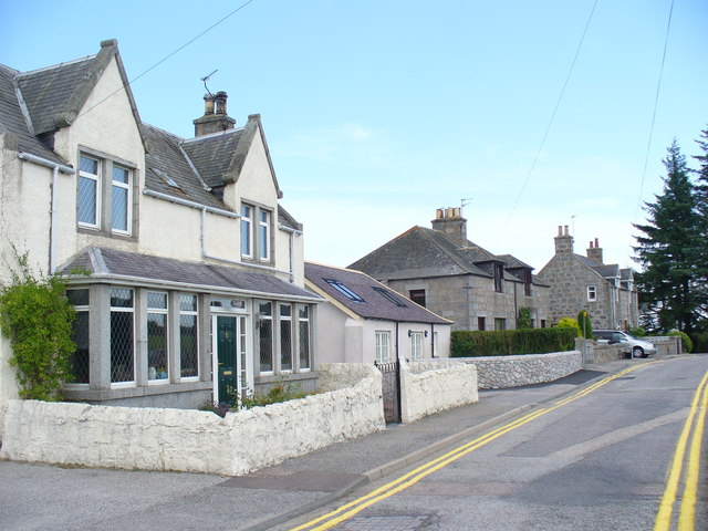
Image: © Colin Smith Taken: 7 Aug 2009
This was once the main road between Aberdeen and Skene. Today it is a dead end, by-passed by the dual carriageway to the south which caters for commuters living in expanded and new settlements like Westhill.
Images are licensed for reuse under creativecommons.org/licenses/by-sa/2.0
Image Location
Latitude
57.147135
Longitude
-2.213172