Lamplit Footpath to the Footbridge
Introduction
The photograph on this page of Lamplit Footpath to the Footbridge by Mike Sharpe as part of the Geograph project.
The Geograph project started in 2005 with the aim of publishing, organising and preserving representative images for every square kilometre of Great Britain, Ireland and the Isle of Man.

There are currently over 7.5m images from over 14,400 individuals and you can help contribute to the project by visiting https://www.geograph.org.uk
Lamplit Footpath to the Footbridge
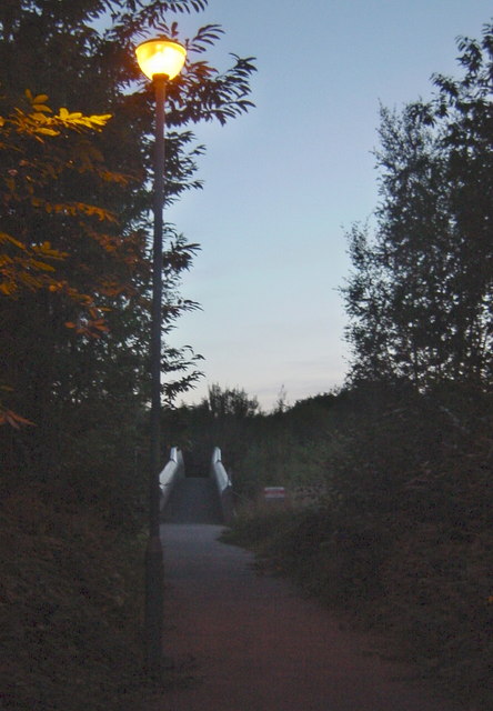
Image: © Mike Sharpe Taken: 23 Aug 2009
A series of streetlamps illuminates a metalled footpath between Orchard Heights Estate and Godinton Park, not shown on the map. As dusk wears on Narnia appears!
Images are licensed for reuse under creativecommons.org/licenses/by-sa/2.0
Image Location
Latitude
51.15957
Longitude
0.847547