Farm Building at Normanton
Introduction
The photograph on this page of Farm Building at Normanton by Jaime Beckett as part of the Geograph project.
The Geograph project started in 2005 with the aim of publishing, organising and preserving representative images for every square kilometre of Great Britain, Ireland and the Isle of Man.

There are currently over 7.5m images from over 14,400 individuals and you can help contribute to the project by visiting https://www.geograph.org.uk
Farm Building at Normanton
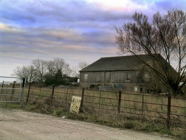
Image: © Jaime Beckett Taken: 19 Mar 2006
Not the most welcoming of signs, although whether it relates to this building or has fallen of a tractor is uncertain. The building sits adjacent to Elm farm in Normanton.
Images are licensed for reuse under creativecommons.org/licenses/by-sa/2.0
Image Location
Latitude
52.95484
Longitude
-0.792772