Footpath junction near Wilmington Hall
Introduction
The photograph on this page of Footpath junction near Wilmington Hall by David Anstiss as part of the Geograph project.
The Geograph project started in 2005 with the aim of publishing, organising and preserving representative images for every square kilometre of Great Britain, Ireland and the Isle of Man.

There are currently over 7.5m images from over 14,400 individuals and you can help contribute to the project by visiting https://www.geograph.org.uk
Footpath junction near Wilmington Hall
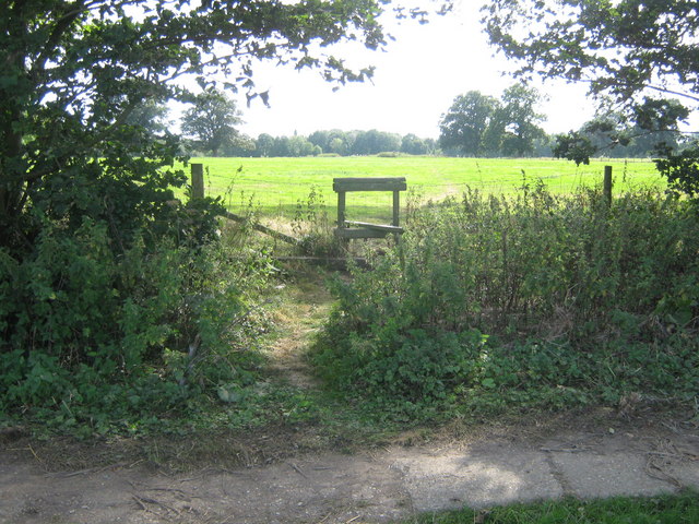
Image: © David Anstiss Taken: 23 Aug 2009
A path leads straight on, over the stile to Ball Lane, Ashford. Another path leads right to the A251 Faversham Road, from the A28 Canterbury Road. Older maps show a footpath from Park Barn Farm (behind the viewer) to here.(Explorer Map 137 2004)
Images are licensed for reuse under creativecommons.org/licenses/by-sa/2.0
Image Location


Leaflet Map data © OpenStreetMap
Latitude
51.175894
Longitude
0.900637