Hay field near Down Hall
Introduction
The photograph on this page of Hay field near Down Hall by Bob Jones as part of the Geograph project.
The Geograph project started in 2005 with the aim of publishing, organising and preserving representative images for every square kilometre of Great Britain, Ireland and the Isle of Man.

There are currently over 7.5m images from over 14,400 individuals and you can help contribute to the project by visiting https://www.geograph.org.uk
Hay field near Down Hall
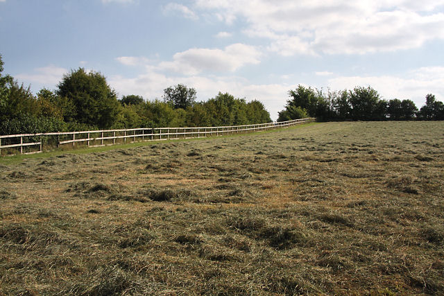
Image: © Bob Jones Taken: 18 Aug 2009
Viewed from the footpath immediately south of Down Hall, this grass field has recently been cut for hay. A minor road to Preston St Mary follows the far side of the fence.
Images are licensed for reuse under creativecommons.org/licenses/by-sa/2.0
Image Location
Latitude
52.127877
Longitude
0.838618