West Wick
Introduction
The photograph on this page of West Wick by Simon Carey as part of the Geograph project.
The Geograph project started in 2005 with the aim of publishing, organising and preserving representative images for every square kilometre of Great Britain, Ireland and the Isle of Man.

There are currently over 7.5m images from over 14,400 individuals and you can help contribute to the project by visiting https://www.geograph.org.uk
West Wick
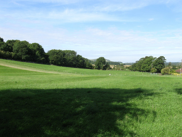
Image: © Simon Carey Taken: 23 Aug 2009
The name of the field according to the 1843 tithe map. The telegraph poles and houses on the right mark the course of Underhill Lane.
Images are licensed for reuse under creativecommons.org/licenses/by-sa/2.0
Image Location
Latitude
50.907972
Longitude
-0.113671