Covered Landfill
Introduction
The photograph on this page of Covered Landfill by Tony Atkin as part of the Geograph project.
The Geograph project started in 2005 with the aim of publishing, organising and preserving representative images for every square kilometre of Great Britain, Ireland and the Isle of Man.

There are currently over 7.5m images from over 14,400 individuals and you can help contribute to the project by visiting https://www.geograph.org.uk
Covered Landfill
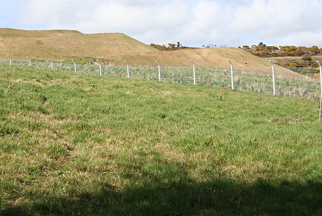
Image: © Tony Atkin Taken: 1 Apr 2006
This is the southern edge of the huge United Downs Landfill site. This site has been controversial, not only because it covers an important area of 19th century mining activity but also for the decision to extend the landfill area. This part of the site is regarded as being full and has been covered with earth and landscaped - after a fashion.
Images are licensed for reuse under creativecommons.org/licenses/by-sa/2.0
Image Location


Leaflet Map data © OpenStreetMap
Latitude
50.224075
Longitude
-5.164159