Wonderhill Plantation
Introduction
The photograph on this page of Wonderhill Plantation by Simon Carey as part of the Geograph project.
The Geograph project started in 2005 with the aim of publishing, organising and preserving representative images for every square kilometre of Great Britain, Ireland and the Isle of Man.

There are currently over 7.5m images from over 14,400 individuals and you can help contribute to the project by visiting https://www.geograph.org.uk
Wonderhill Plantation
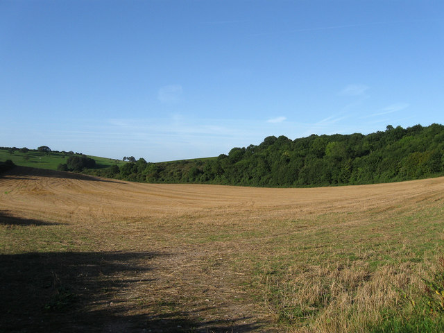
Image: © Simon Carey Taken: 23 Aug 2009
The name of the wood at the end of the field. On the 1843 tithe map this field is marked as sheep down. Tegdown Hill is in the distance on the left.
Images are licensed for reuse under creativecommons.org/licenses/by-sa/2.0
Image Location
Latitude
50.885438
Longitude
-0.132922