Sunray allotments
Introduction
The photograph on this page of Sunray allotments by Dennis Turner as part of the Geograph project.
The Geograph project started in 2005 with the aim of publishing, organising and preserving representative images for every square kilometre of Great Britain, Ireland and the Isle of Man.

There are currently over 7.5m images from over 14,400 individuals and you can help contribute to the project by visiting https://www.geograph.org.uk
Sunray allotments
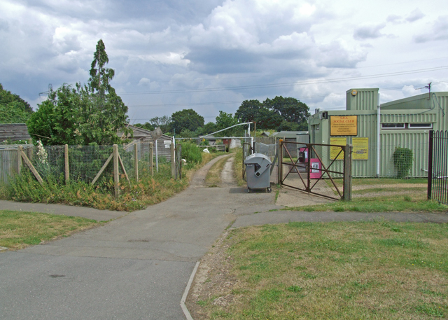
Image: © Dennis Turner Taken: 28 Jun 2009
Allotments adjacent to Sunray Residents Association social club south of Knollmead railway bridge.
Images are licensed for reuse under creativecommons.org/licenses/by-sa/2.0
Image Location
Latitude
51.379765
Longitude
-0.272239