Seasalter Cross
Introduction
The photograph on this page of Seasalter Cross by Penny Mayes as part of the Geograph project.
The Geograph project started in 2005 with the aim of publishing, organising and preserving representative images for every square kilometre of Great Britain, Ireland and the Isle of Man.

There are currently over 7.5m images from over 14,400 individuals and you can help contribute to the project by visiting https://www.geograph.org.uk
Seasalter Cross
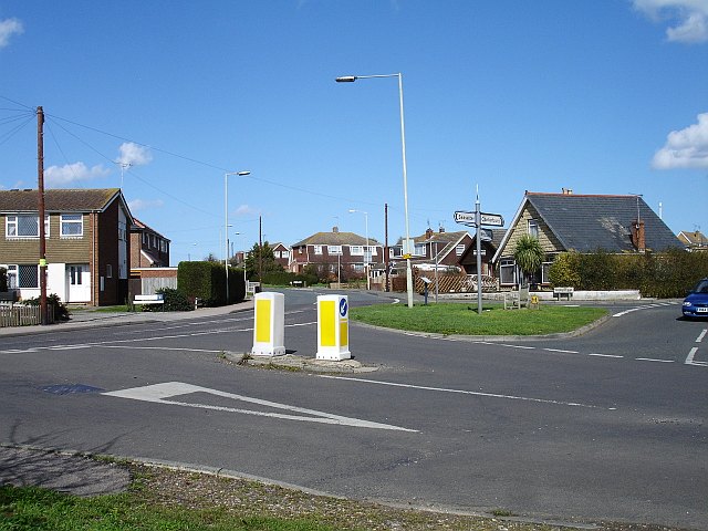
Image: © Penny Mayes Taken: 1 Apr 2006
Not a stone cross but a cross roads on the south western edge of this ancient borough, first recorded in an Anglo Saxon charter of 785 CE. Faversham Road is now the 'through' road, left for the Blue Anchor pub and the road along the sea wall to Faversham, straight on for Joy Lane and eventually Whitstable. Church Lane runs right and was the road to Canterbury in Roman times but now runs up to the slip road from the east-bound Thanet Way. The fourth road, beside which I stood, is Seasalter Lane which runs south and under the Thanet Way to Yorkletts.
Images are licensed for reuse under creativecommons.org/licenses/by-sa/2.0
Image Location
Latitude
51.342048
Longitude
0.999439