Footpath, rear of Rideswell Grove, Whitnash
Introduction
The photograph on this page of Footpath, rear of Rideswell Grove, Whitnash by Robin Stott as part of the Geograph project.
The Geograph project started in 2005 with the aim of publishing, organising and preserving representative images for every square kilometre of Great Britain, Ireland and the Isle of Man.

There are currently over 7.5m images from over 14,400 individuals and you can help contribute to the project by visiting https://www.geograph.org.uk
Footpath, rear of Rideswell Grove, Whitnash
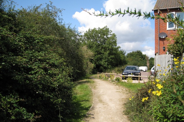
Image: © Robin Stott Taken: 22 Aug 2009
The footpath on the west side of the South Farm II estate runs above the main falling sewer (the sewage is then pumped up to wherever). The massive hedgerow, left, grows on a double bank and ditch, marking the Whitnash/Bishop's Tachbrook parish boundary.
Images are licensed for reuse under creativecommons.org/licenses/by-sa/2.0
Image Location
Latitude
52.258826
Longitude
-1.5282