Brook Lane, Berkhamsted
Introduction
The photograph on this page of Brook Lane, Berkhamsted by David Sands as part of the Geograph project.
The Geograph project started in 2005 with the aim of publishing, organising and preserving representative images for every square kilometre of Great Britain, Ireland and the Isle of Man.

There are currently over 7.5m images from over 14,400 individuals and you can help contribute to the project by visiting https://www.geograph.org.uk
Brook Lane, Berkhamsted
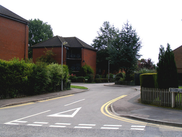
Image: © David Sands Taken: 8 Aug 2009
Brook Lane as seen from its junction with Stag Lane. The name 'Brook' refers to the River Bulbourne, which must be culverted underground at this point, and so hidden from view.
Images are licensed for reuse under creativecommons.org/licenses/by-sa/2.0
Image Location
Latitude
51.764353
Longitude
-0.57293