The Locks development at Stag Lane, Berkhamsted
Introduction
The photograph on this page of The Locks development at Stag Lane, Berkhamsted by David Sands as part of the Geograph project.
The Geograph project started in 2005 with the aim of publishing, organising and preserving representative images for every square kilometre of Great Britain, Ireland and the Isle of Man.

There are currently over 7.5m images from over 14,400 individuals and you can help contribute to the project by visiting https://www.geograph.org.uk
The Locks development at Stag Lane, Berkhamsted
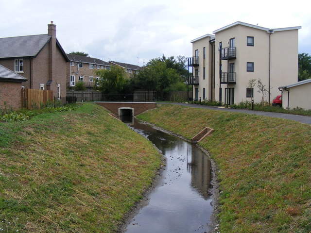
Image: © David Sands Taken: 16 Jul 2009
The new course of the River Bulbourne is a feature of the development, seen here looking upstream towards Billet Lane.
Images are licensed for reuse under creativecommons.org/licenses/by-sa/2.0
Image Location
Latitude
51.765014
Longitude
-0.575517