Collingwood Avenue, Belfast
Introduction
The photograph on this page of Collingwood Avenue, Belfast by Albert Bridge as part of the Geograph project.
The Geograph project started in 2005 with the aim of publishing, organising and preserving representative images for every square kilometre of Great Britain, Ireland and the Isle of Man.

There are currently over 7.5m images from over 14,400 individuals and you can help contribute to the project by visiting https://www.geograph.org.uk
Collingwood Avenue, Belfast
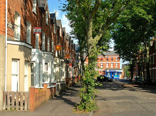
Image: © Albert Bridge Taken: 22 Aug 2009
Not strictly part of “Holy Land” Image, Collingwood Avenue is part of the “holy land” area. The view is towards Agincourt Avenue. Many of the houses have “to let” signs in preparation for the start of the university term. It too seems to date from the late 19th century. See also Image
Images are licensed for reuse under creativecommons.org/licenses/by-sa/2.0
Image Location
Latitude
54.583565
Longitude
-5.924274