Lake at Earth Balance, Bomarsund
Introduction
The photograph on this page of Lake at Earth Balance, Bomarsund by Andrew Curtis as part of the Geograph project.
The Geograph project started in 2005 with the aim of publishing, organising and preserving representative images for every square kilometre of Great Britain, Ireland and the Isle of Man.

There are currently over 7.5m images from over 14,400 individuals and you can help contribute to the project by visiting https://www.geograph.org.uk
Lake at Earth Balance, Bomarsund
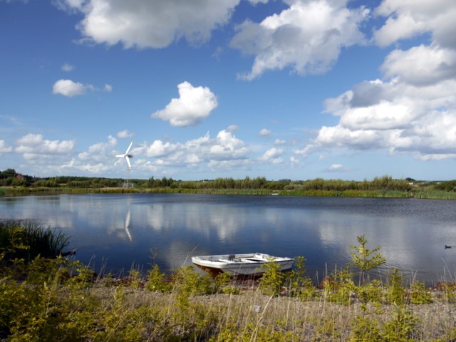
Image: © Andrew Curtis Taken: 21 Aug 2009
Now looking much more established than it was in 2006 Image
Images are licensed for reuse under creativecommons.org/licenses/by-sa/2.0
Image Location
Latitude
55.152924
Longitude
-1.574717