Rail loading facility
Introduction
The photograph on this page of Rail loading facility by Jonathan Wilkins as part of the Geograph project.
The Geograph project started in 2005 with the aim of publishing, organising and preserving representative images for every square kilometre of Great Britain, Ireland and the Isle of Man.

There are currently over 7.5m images from over 14,400 individuals and you can help contribute to the project by visiting https://www.geograph.org.uk
Rail loading facility
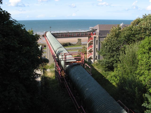
Image: © Jonathan Wilkins Taken: 21 Aug 2009
When the by-pass was built, all the original bunkers and conveyers that were used for loading trains with the rock produced from the quarry were demolished and replaced. The new loading facility was much smaller and could only load trains on one siding - most of the space of the original sidings having been taken up by the new road. It is a sad reflection on our current times that the quarry is now mothballed as a consequence of losing the contract to supply railway ballast to Network Rail - a feature of the town for almost 100 years.
Images are licensed for reuse under creativecommons.org/licenses/by-sa/2.0
Image Location
Latitude
53.269439
Longitude
-3.927379