Tin extension in Mynachlog-ddu
Introduction
The photograph on this page of Tin extension in Mynachlog-ddu by Natasha Ceridwen de Chroustchoff as part of the Geograph project.
The Geograph project started in 2005 with the aim of publishing, organising and preserving representative images for every square kilometre of Great Britain, Ireland and the Isle of Man.

There are currently over 7.5m images from over 14,400 individuals and you can help contribute to the project by visiting https://www.geograph.org.uk
Tin extension in Mynachlog-ddu
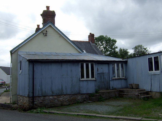
Image: © Natasha Ceridwen de Chroustchoff Taken: 16 Aug 2009
Not unusual to find these corrugated metal structures in this area - a cheap and practical way to build in the mid C20.
Images are licensed for reuse under creativecommons.org/licenses/by-sa/2.0
Image Location
Latitude
51.942493
Longitude
-4.701948